Roadworks at the L.P. Corral
Introduction
The photograph on this page of Roadworks at the L.P. Corral by Basher Eyre as part of the Geograph project.
The Geograph project started in 2005 with the aim of publishing, organising and preserving representative images for every square kilometre of Great Britain, Ireland and the Isle of Man.

There are currently over 7.5m images from over 14,400 individuals and you can help contribute to the project by visiting https://www.geograph.org.uk
Roadworks at the L.P. Corral
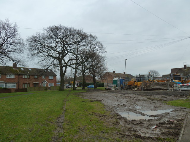
Image: © Basher Eyre Taken: 16 Jan 2011
Taken at the top of Park House Farm Way where it meets Middle Park Way.
Images are licensed for reuse under creativecommons.org/licenses/by-sa/2.0
Image Location
Latitude
50.871711
Longitude
-0.999441