Dynevor Arms, Tir-phil
Introduction
The photograph on this page of Dynevor Arms, Tir-phil by Jaggery as part of the Geograph project.
The Geograph project started in 2005 with the aim of publishing, organising and preserving representative images for every square kilometre of Great Britain, Ireland and the Isle of Man.

There are currently over 7.5m images from over 14,400 individuals and you can help contribute to the project by visiting https://www.geograph.org.uk
Dynevor Arms, Tir-phil
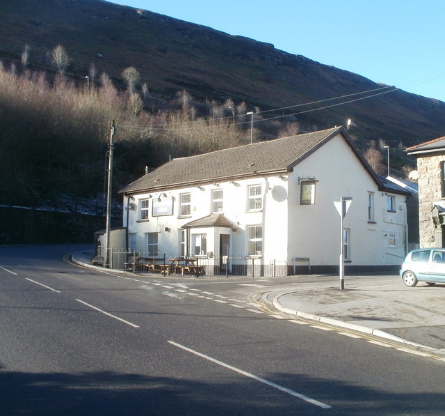
Image: © Jaggery Taken: 20 Jan 2011
Pub located on The Square, at the corner of High Street and School Street. Nearly two years previously, http://www.geograph.org.uk/photo/1152605 the pub was for sale and its windows were protected by metal sheeting.
Images are licensed for reuse under creativecommons.org/licenses/by-sa/2.0
Image Location
Latitude
51.720889
Longitude
-3.247827