Frosty-roofed bungalow, Tir-Phil
Introduction
The photograph on this page of Frosty-roofed bungalow, Tir-Phil by Jaggery as part of the Geograph project.
The Geograph project started in 2005 with the aim of publishing, organising and preserving representative images for every square kilometre of Great Britain, Ireland and the Isle of Man.

There are currently over 7.5m images from over 14,400 individuals and you can help contribute to the project by visiting https://www.geograph.org.uk
Frosty-roofed bungalow, Tir-Phil
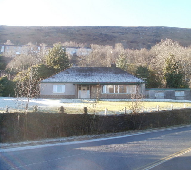
Image: © Jaggery Taken: 20 Jan 2011
The bungalow is set back from the A4049, a few tens of metres on the Tir-Phil side of the boundary with New Tredegar. Though it is just after midday on a sunny winter's day, the January sun has risen only a little above the high ground behind the bungalow, not high enough to reach the bungalow, so overnight frost remains on the roof. The land in the background reaches an elevation of about 430 metres (1400 feet), whereas the bungalow is about 210 metres (690 feet) above sea level.
Images are licensed for reuse under creativecommons.org/licenses/by-sa/2.0
Image Location
Latitude
51.720021
Longitude
-3.244908