The track to Tan House Farm
Introduction
The photograph on this page of The track to Tan House Farm by Bill Boaden as part of the Geograph project.
The Geograph project started in 2005 with the aim of publishing, organising and preserving representative images for every square kilometre of Great Britain, Ireland and the Isle of Man.

There are currently over 7.5m images from over 14,400 individuals and you can help contribute to the project by visiting https://www.geograph.org.uk
The track to Tan House Farm
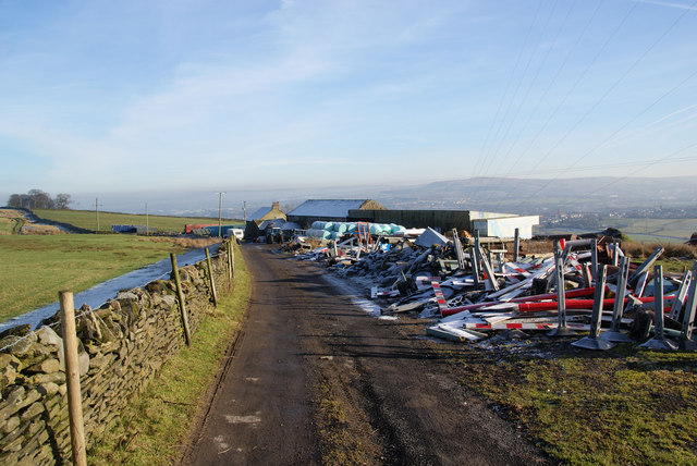
Image: © Bill Boaden Taken: 21 Jan 2011
The debris appears to include traffic management equipment.
Images are licensed for reuse under creativecommons.org/licenses/by-sa/2.0
Image Location
Latitude
53.776842
Longitude
-2.446084