Field boundary by the A3072
Introduction
The photograph on this page of Field boundary by the A3072 by Derek Harper as part of the Geograph project.
The Geograph project started in 2005 with the aim of publishing, organising and preserving representative images for every square kilometre of Great Britain, Ireland and the Isle of Man.

There are currently over 7.5m images from over 14,400 individuals and you can help contribute to the project by visiting https://www.geograph.org.uk
Field boundary by the A3072
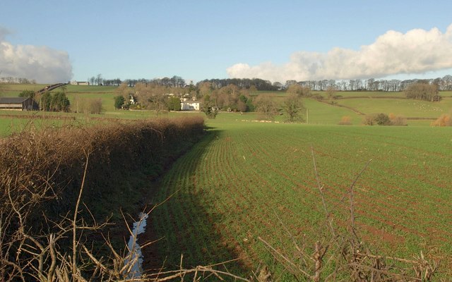
Image: © Derek Harper Taken: 18 Jan 2011
A winter crop sprouts beside a curving field boundary opposite the sheep pen shown in Image The Georgian Nichols Nymet House is in Image
Images are licensed for reuse under creativecommons.org/licenses/by-sa/2.0
Image Location
Latitude
50.800986
Longitude
-3.855517