Station Road
Introduction
The photograph on this page of Station Road by Ian Capper as part of the Geograph project.
The Geograph project started in 2005 with the aim of publishing, organising and preserving representative images for every square kilometre of Great Britain, Ireland and the Isle of Man.

There are currently over 7.5m images from over 14,400 individuals and you can help contribute to the project by visiting https://www.geograph.org.uk
Station Road
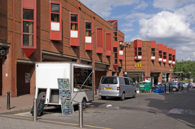
Image: © Ian Capper Taken: 17 Jul 2010
The eastern section of Station Road, with restricted vehicular access. On the left is part of the Harlequin centre, built in the 1980s to replace the former Market Hall which has stood on this site from 1861 to 1982 (see http://www.francisfrith.com/redhill,surrey/photos/market-hall-1915_67817/ - this section of Station Road is off to the right).
Images are licensed for reuse under creativecommons.org/licenses/by-sa/2.0
Image Location
Latitude
51.240409
Longitude
-0.167826