Carlton Road
Introduction
The photograph on this page of Carlton Road by Ian Capper as part of the Geograph project.
The Geograph project started in 2005 with the aim of publishing, organising and preserving representative images for every square kilometre of Great Britain, Ireland and the Isle of Man.

There are currently over 7.5m images from over 14,400 individuals and you can help contribute to the project by visiting https://www.geograph.org.uk
Carlton Road
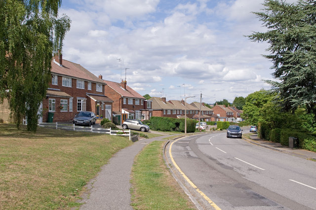
Image: © Ian Capper Taken: 17 Jul 2010
Part of the 1950s/60s development of this part of Redhill. The road itself, without buildings, first appears on the 1920 OS map.
Images are licensed for reuse under creativecommons.org/licenses/by-sa/2.0
Image Location
Latitude
51.249705
Longitude
-0.178576