Bench mark on a bridge wall in Wrexham Road
Introduction
The photograph on this page of Bench mark on a bridge wall in Wrexham Road by John S Turner as part of the Geograph project.
The Geograph project started in 2005 with the aim of publishing, organising and preserving representative images for every square kilometre of Great Britain, Ireland and the Isle of Man.

There are currently over 7.5m images from over 14,400 individuals and you can help contribute to the project by visiting https://www.geograph.org.uk
Bench mark on a bridge wall in Wrexham Road
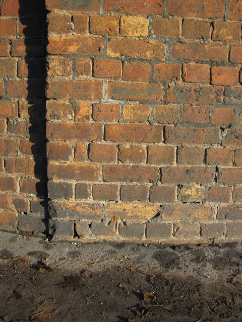
Image: © John S Turner Taken: 20 Jan 2011
This cut mark is on the north side of Wrexham Road on what remains of a railway bridge wall. The bridge and bench mark are both shown on the 1872 O.S. map. I believe the branch line was closed in the 1960s, and the bridge has been removed - see Image
Images are licensed for reuse under creativecommons.org/licenses/by-sa/2.0
Image Location
Latitude
53.157035
Longitude
-3.131603