Anchor Mill, Bradiford
Introduction
The photograph on this page of Anchor Mill, Bradiford by Roger A Smith as part of the Geograph project.
The Geograph project started in 2005 with the aim of publishing, organising and preserving representative images for every square kilometre of Great Britain, Ireland and the Isle of Man.

There are currently over 7.5m images from over 14,400 individuals and you can help contribute to the project by visiting https://www.geograph.org.uk
Anchor Mill, Bradiford
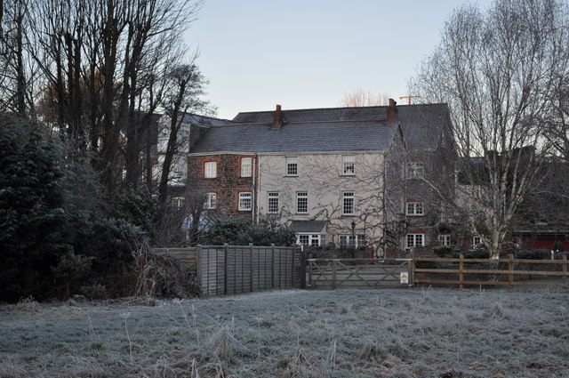
Image: © Roger A Smith Taken: 21 Jan 2011
This mill was served by a leat emanating from Bradiford Water in Tutshill Wood.
Images are licensed for reuse under creativecommons.org/licenses/by-sa/2.0
Image Location
Latitude
51.093501
Longitude
-4.066714