Oldham seen from near Uppermill
Introduction
The photograph on this page of Oldham seen from near Uppermill by Chas Bestos as part of the Geograph project.
The Geograph project started in 2005 with the aim of publishing, organising and preserving representative images for every square kilometre of Great Britain, Ireland and the Isle of Man.

There are currently over 7.5m images from over 14,400 individuals and you can help contribute to the project by visiting https://www.geograph.org.uk
Oldham seen from near Uppermill
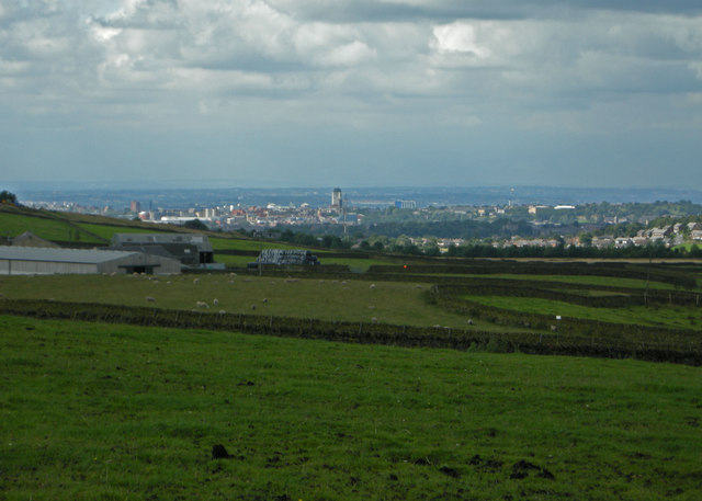
Image: © Chas Bestos Taken: 25 Aug 2009
Taken from a footpath near Burnedge Bent Farm. The buildings of Oldham can be seen in the centre.
Images are licensed for reuse under creativecommons.org/licenses/by-sa/2.0
Image Location
Latitude
53.537094
Longitude
-2.114633