Roman Road and Farmland
Introduction
The photograph on this page of Roman Road and Farmland by Pam Brophy as part of the Geograph project.
The Geograph project started in 2005 with the aim of publishing, organising and preserving representative images for every square kilometre of Great Britain, Ireland and the Isle of Man.

There are currently over 7.5m images from over 14,400 individuals and you can help contribute to the project by visiting https://www.geograph.org.uk
Roman Road and Farmland
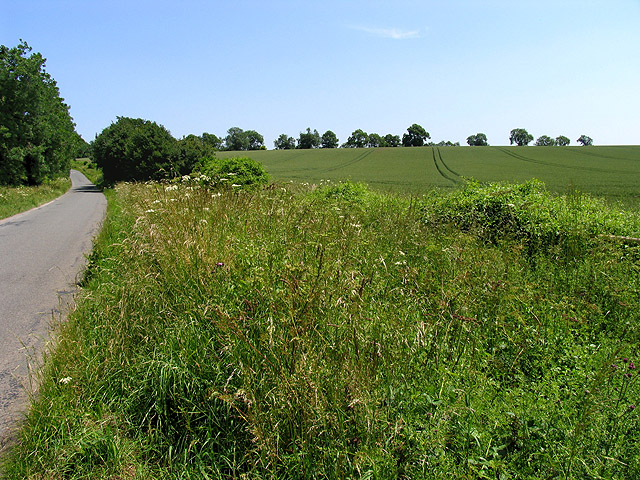
Image: © Pam Brophy Taken: 28 Jun 2005
This road (Akeman Street) is along the old Roman Road. The square is largely farmland with some plantations. This view looks more or less ENE along the road towards the centre of the square.
Images are licensed for reuse under creativecommons.org/licenses/by-sa/2.0
Image Location


Leaflet Map data © OpenStreetMap
Latitude
51.738037
Longitude
-1.853977