The western end of Great Harwood
Introduction
The photograph on this page of The western end of Great Harwood by Bill Boaden as part of the Geograph project.
The Geograph project started in 2005 with the aim of publishing, organising and preserving representative images for every square kilometre of Great Britain, Ireland and the Isle of Man.

There are currently over 7.5m images from over 14,400 individuals and you can help contribute to the project by visiting https://www.geograph.org.uk
The western end of Great Harwood
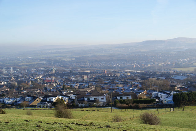
Image: © Bill Boaden Taken: 21 Jan 2011
Seen from the lane between Edge Side Farm and Belmont Farm. Hameldon Hill is in the distance.
Images are licensed for reuse under creativecommons.org/licenses/by-sa/2.0
Image Location
Latitude
53.785218
Longitude
-2.416426