The Wateringbury sign
Introduction
The photograph on this page of The Wateringbury sign by Oast House Archive as part of the Geograph project.
The Geograph project started in 2005 with the aim of publishing, organising and preserving representative images for every square kilometre of Great Britain, Ireland and the Isle of Man.

There are currently over 7.5m images from over 14,400 individuals and you can help contribute to the project by visiting https://www.geograph.org.uk
The Wateringbury sign
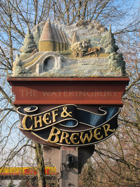
Image: © Oast House Archive Taken: 19 Jan 2011
Image Depicting oast houses, inspired by those at the Beltring Hop Farm http://www.geograph.org.uk/snippet/76
Images are licensed for reuse under creativecommons.org/licenses/by-sa/2.0
Image Location
Latitude
51.254813
Longitude
0.42474