A lane crossways
Introduction
The photograph on this page of A lane crossways by Robin Webster as part of the Geograph project.
The Geograph project started in 2005 with the aim of publishing, organising and preserving representative images for every square kilometre of Great Britain, Ireland and the Isle of Man.

There are currently over 7.5m images from over 14,400 individuals and you can help contribute to the project by visiting https://www.geograph.org.uk
A lane crossways
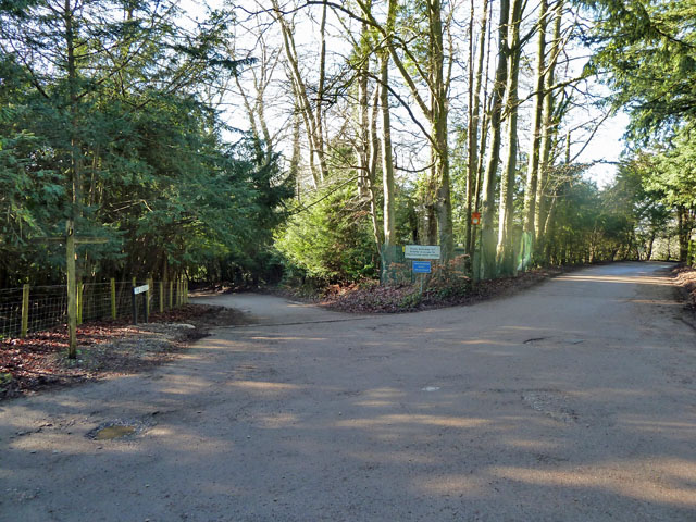
Image: © Robin Webster Taken: 21 Jan 2011
All of these lanes have only bridleway status for the public, so it is odd that the sign referring to bridleway 147 (to the left) points out that only authorized vehicles are allowed, when the same remark should apply to all of the routes. Bridleway 147 is called The Conduit, which continues to the right behind the viewpoint as Hextalls Lane. Bridleway 541 to the right is also Hextalls Lane, and 541 continues to the left behind the viewpoint as Roughets Lane.
Images are licensed for reuse under creativecommons.org/licenses/by-sa/2.0
Image Location


Leaflet Map data © OpenStreetMap
Latitude
51.260129
Longitude
-0.096138