Harestone Hill
Introduction
The photograph on this page of Harestone Hill by Robin Webster as part of the Geograph project.
The Geograph project started in 2005 with the aim of publishing, organising and preserving representative images for every square kilometre of Great Britain, Ireland and the Isle of Man.

There are currently over 7.5m images from over 14,400 individuals and you can help contribute to the project by visiting https://www.geograph.org.uk
Harestone Hill
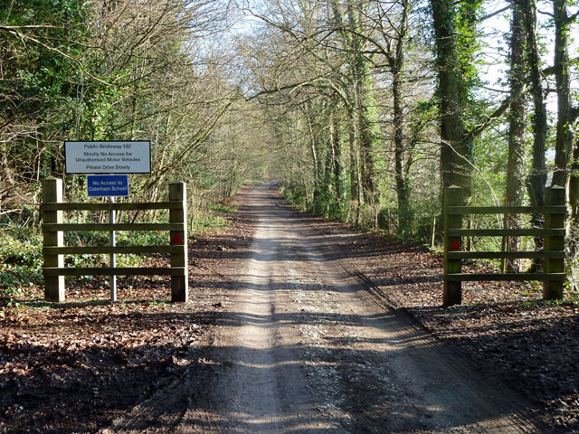
Image: © Robin Webster Taken: 21 Jan 2011
Public bridleway 182 from approximately this point onwards, with authorized vehicle access only - there are a few expensive looking houses down the lane.
Images are licensed for reuse under creativecommons.org/licenses/by-sa/2.0
Image Location
Latitude
51.271232
Longitude
-0.082203