Pendle Way by Monkhey Farm
Introduction
The photograph on this page of Pendle Way by Monkhey Farm by Chris Heaton as part of the Geograph project.
The Geograph project started in 2005 with the aim of publishing, organising and preserving representative images for every square kilometre of Great Britain, Ireland and the Isle of Man.

There are currently over 7.5m images from over 14,400 individuals and you can help contribute to the project by visiting https://www.geograph.org.uk
Pendle Way by Monkhey Farm
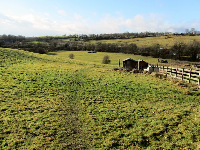
Image: © Chris Heaton Taken: 18 Jan 2011
The long distance footpath has now been diverted around Monkhey Farm, before descending pastures towards the M65
Images are licensed for reuse under creativecommons.org/licenses/by-sa/2.0
Image Location
Latitude
53.813733
Longitude
-2.245393