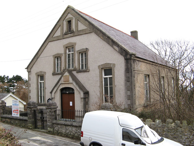
Capel Calfaria
Introduction
The photograph on this page of Capel Calfaria by Jonathan Wilkins as part of the Geograph project.
The Geograph project started in 2005 with the aim of publishing, organising and preserving representative images for every square kilometre of Great Britain, Ireland and the Isle of Man.
There are currently over 7.5m images from over 14,400 individuals and you can help contribute to the project by visiting https://www.geograph.org.uk

Image: © Jonathan Wilkins Taken: 21 Jan 2011
Four chapels are shown in maps of the village, but none are now in use for worship. This one, the Baptists' chapel, has seen the most recent use, apparently. At the time of imaging, a notice was pinned to the door advising disposal of the property by the trustees, dated July 2010. The notice of sale of the chapel site by auction gives an October 2010 date, but it must be supposed that the sale was not a success, although a private bid has been successful since that time. The stone plaque over the entrance, poorly repaired with cement, reads "WELSH BAPTIST CHAPEL PENRHYNSIDE A.D.1894" while the notice board reads "CALFARIA Addoldy Y Bedyddwyr"

