Sessland Lane
Introduction
The photograph on this page of Sessland Lane by Derek Harper as part of the Geograph project.
The Geograph project started in 2005 with the aim of publishing, organising and preserving representative images for every square kilometre of Great Britain, Ireland and the Isle of Man.

There are currently over 7.5m images from over 14,400 individuals and you can help contribute to the project by visiting https://www.geograph.org.uk
Sessland Lane
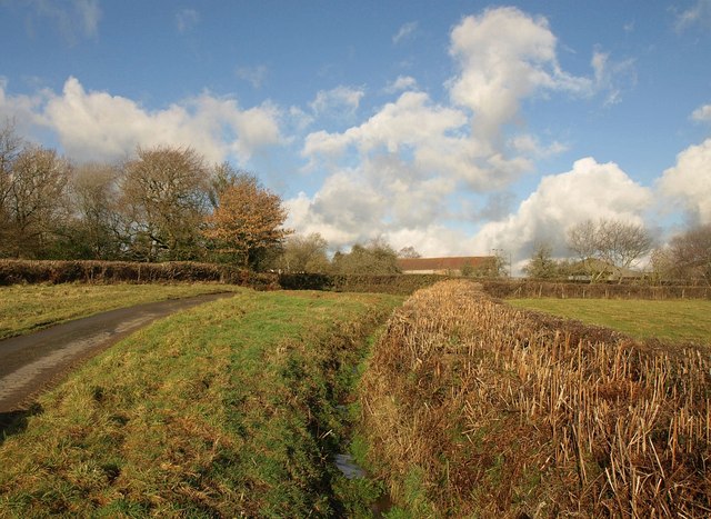
Image: © Derek Harper Taken: 18 Jan 2011
Looking in the other direction to Image, as the lane curves round between wide verges into the hamlet of Itton. The other side of the red-roofed barn is shown in Image
Images are licensed for reuse under creativecommons.org/licenses/by-sa/2.0
Image Location
Latitude
50.774546
Longitude
-3.872342