Large fields east of Bolsover
Introduction
The photograph on this page of Large fields east of Bolsover by Andrew Hill as part of the Geograph project.
The Geograph project started in 2005 with the aim of publishing, organising and preserving representative images for every square kilometre of Great Britain, Ireland and the Isle of Man.

There are currently over 7.5m images from over 14,400 individuals and you can help contribute to the project by visiting https://www.geograph.org.uk
Large fields east of Bolsover
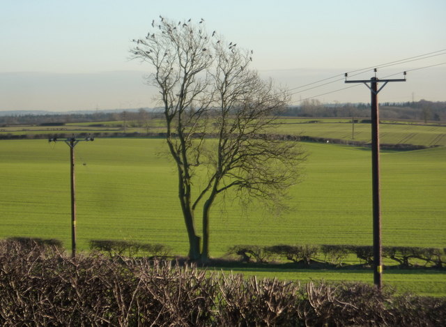
Image: © Andrew Hill Taken: 20 Jan 2011
The land gently dips towards the east, eventually to the Sherwood Forest and then the distant Trent. From the B6417 running along the western edge of the square.
Images are licensed for reuse under creativecommons.org/licenses/by-sa/2.0
Image Location
Latitude
53.227125
Longitude
-1.266427