Breach
Introduction
The photograph on this page of Breach by Anne Burgess as part of the Geograph project.
The Geograph project started in 2005 with the aim of publishing, organising and preserving representative images for every square kilometre of Great Britain, Ireland and the Isle of Man.

There are currently over 7.5m images from over 14,400 individuals and you can help contribute to the project by visiting https://www.geograph.org.uk
Breach
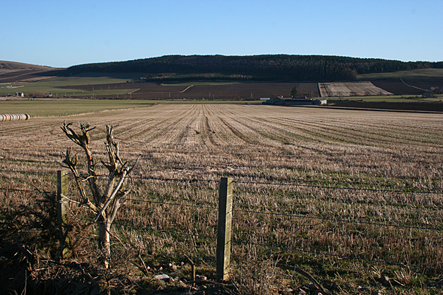
Image: © Anne Burgess Taken: 20 Jan 2011
Breach is the farm towards the right-hand side of this view. The map I was using showed the access from the far side, but there is now a new road from this side. In the background is Fordyce Hill. A solitary whin bush seems to have escaped the fate of its neighbours, all of which have been removed.
Images are licensed for reuse under creativecommons.org/licenses/by-sa/2.0
Image Location
Latitude
57.655237
Longitude
-2.761583