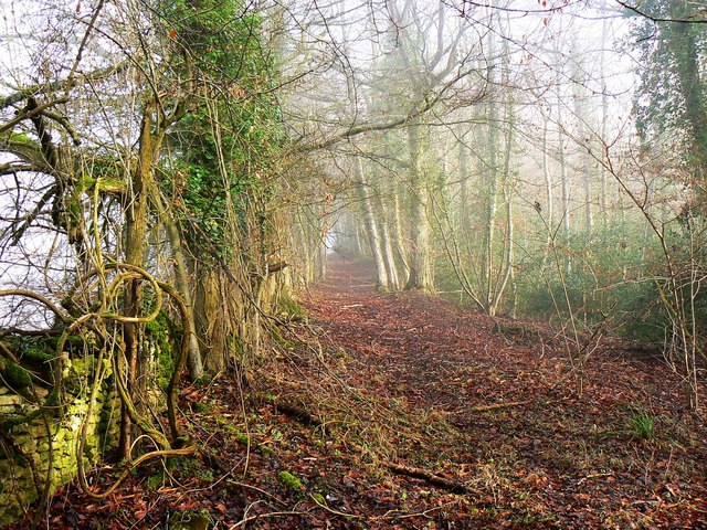
Track in Cranham Wood, Cranham
Introduction
The photograph on this page of Track in Cranham Wood, Cranham by Brian Robert Marshall as part of the Geograph project.
The Geograph project started in 2005 with the aim of publishing, organising and preserving representative images for every square kilometre of Great Britain, Ireland and the Isle of Man.
There are currently over 7.5m images from over 14,400 individuals and you can help contribute to the project by visiting https://www.geograph.org.uk

Image: © Brian Robert Marshall Taken: 20 Jan 2011
This track is on the northern edge of Cranham Wood, which appears to be under the management of the National Trust. The Ordnance Survey maps are a little confusing depending on the scale. A bridleway marked as such on the 1:25K version doesn't show on the 1:50K map. The NT logo can be seen on the 1:50K map but not on the 1:25K map. Presumably, those tracks not shown as public footpaths or bridleways can safely be regarded as permissive footpaths.

