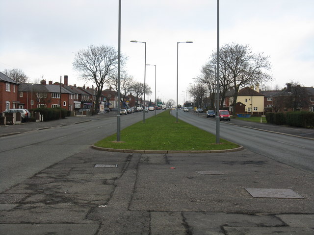
Broadway - looking north from Annesley Road
Introduction
The photograph on this page of Broadway - looking north from Annesley Road by Peter Whatley as part of the Geograph project.
The Geograph project started in 2005 with the aim of publishing, organising and preserving representative images for every square kilometre of Great Britain, Ireland and the Isle of Man.
There are currently over 7.5m images from over 14,400 individuals and you can help contribute to the project by visiting https://www.geograph.org.uk

Image: © Peter Whatley Taken: 19 Jan 2011
The narrowing of the central reservation dates from Broadway's construction in the late 1920s. The section from Oldham Road (Failsworth) to Moston Lane East was designed with a wide island which could be used to accommodate trams clear of the tarmac, though no tracks were ever laid. Similar designs were applied within the City of Manchester for Kingsway (A34) and Princess Parkway (A5103). Beyond Moston Lane East, jurisdiction passed to Oldham who authorised a conventional four-lane highway, but retained the leasehold for a distance either side of the road's edge with a view to widening the road should it be required.

