Withypool and Hawkridge: the Dane?s Brook valley
Introduction
The photograph on this page of Withypool and Hawkridge: the Dane?s Brook valley by Martin Bodman as part of the Geograph project.
The Geograph project started in 2005 with the aim of publishing, organising and preserving representative images for every square kilometre of Great Britain, Ireland and the Isle of Man.

There are currently over 7.5m images from over 14,400 individuals and you can help contribute to the project by visiting https://www.geograph.org.uk
Withypool and Hawkridge: the Dane?s Brook valley
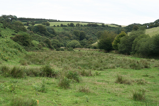
Image: © Martin Bodman Taken: 22 Aug 2006
Seen below Shircombe, looking east-south-east
Images are licensed for reuse under creativecommons.org/licenses/by-sa/2.0
Image Location
Latitude
51.065499
Longitude
-3.656703