Lonsee Gardens, Kingskerswell
Introduction
The photograph on this page of Lonsee Gardens, Kingskerswell by Richard Dorrell as part of the Geograph project.
The Geograph project started in 2005 with the aim of publishing, organising and preserving representative images for every square kilometre of Great Britain, Ireland and the Isle of Man.

There are currently over 7.5m images from over 14,400 individuals and you can help contribute to the project by visiting https://www.geograph.org.uk
Lonsee Gardens, Kingskerswell
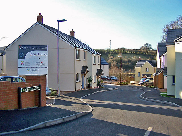
Image: © Richard Dorrell Taken: 19 Jan 2011
This is a new development of 2, 3 and 4 bedroom houses for Teign Housing, approached from a loop road named Carswells, in which there is older housing. From aerial photographs, it would appear that a pair of semi detached houses used to stand where this road enters the development.
Images are licensed for reuse under creativecommons.org/licenses/by-sa/2.0
Image Location
Latitude
50.503355
Longitude
-3.583643