Footpath between Dell Close and School Lane, Mickleham
Introduction
The photograph on this page of Footpath between Dell Close and School Lane, Mickleham by David Howard as part of the Geograph project.
The Geograph project started in 2005 with the aim of publishing, organising and preserving representative images for every square kilometre of Great Britain, Ireland and the Isle of Man.

There are currently over 7.5m images from over 14,400 individuals and you can help contribute to the project by visiting https://www.geograph.org.uk
Footpath between Dell Close and School Lane, Mickleham
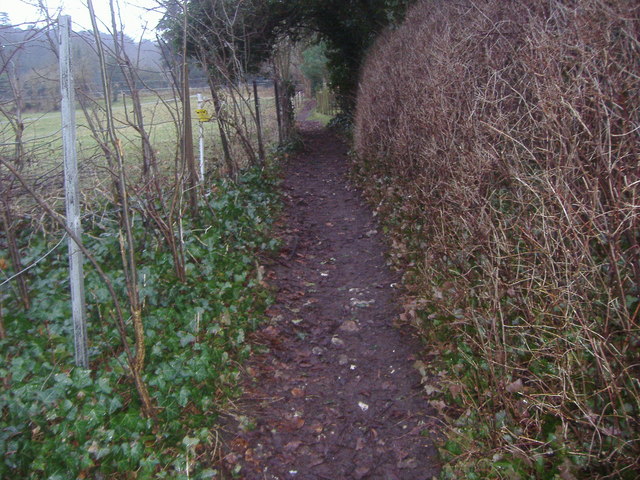
Image: © David Howard Taken: 8 Feb 2010
You can just see the North Downs on the left
Images are licensed for reuse under creativecommons.org/licenses/by-sa/2.0
Image Location
Latitude
51.268806
Longitude
-0.32242