Plymouth : The Parkway A38
Introduction
The photograph on this page of Plymouth : The Parkway A38 by Lewis Clarke as part of the Geograph project.
The Geograph project started in 2005 with the aim of publishing, organising and preserving representative images for every square kilometre of Great Britain, Ireland and the Isle of Man.

There are currently over 7.5m images from over 14,400 individuals and you can help contribute to the project by visiting https://www.geograph.org.uk
Plymouth : The Parkway A38
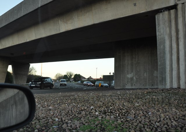
Image: © Lewis Clarke Taken: 19 Jan 2011
At the roundabout of the Parkway, the bridge overhead is the Tavistock Road. This is a major road through the city.
Images are licensed for reuse under creativecommons.org/licenses/by-sa/2.0
Image Location


Leaflet Map data © OpenStreetMap
Latitude
50.399962
Longitude
-4.136903