Rugby-Murrayian Close
Introduction
The photograph on this page of Rugby-Murrayian Close by Ian Rob as part of the Geograph project.
The Geograph project started in 2005 with the aim of publishing, organising and preserving representative images for every square kilometre of Great Britain, Ireland and the Isle of Man.

There are currently over 7.5m images from over 14,400 individuals and you can help contribute to the project by visiting https://www.geograph.org.uk
Rugby-Murrayian Close
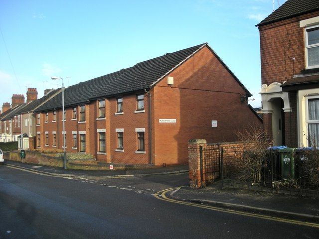
Image: © Ian Rob Taken: 17 Jan 2011
Housing built on the site of Murray School, which closed in the 1960s, between Bath Street and Murray Road.
Images are licensed for reuse under creativecommons.org/licenses/by-sa/2.0
Image Location
Latitude
52.373396
Longitude
-1.255237