Barns at the junction of Hilltop Gardens and West View
Introduction
The photograph on this page of Barns at the junction of Hilltop Gardens and West View by Jonathan Thacker as part of the Geograph project.
The Geograph project started in 2005 with the aim of publishing, organising and preserving representative images for every square kilometre of Great Britain, Ireland and the Isle of Man.

There are currently over 7.5m images from over 14,400 individuals and you can help contribute to the project by visiting https://www.geograph.org.uk
Barns at the junction of Hilltop Gardens and West View
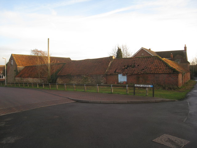
Image: © Jonathan Thacker Taken: 19 Jan 2011
Some of these are still in use but increasingly dilapidated. Those on the left of the picture are in the next square.
Images are licensed for reuse under creativecommons.org/licenses/by-sa/2.0
Image Location
Latitude
53.527837
Longitude
-0.659171