Reservoir near Lower Weddington Farm
Introduction
The photograph on this page of Reservoir near Lower Weddington Farm by David Anstiss as part of the Geograph project.
The Geograph project started in 2005 with the aim of publishing, organising and preserving representative images for every square kilometre of Great Britain, Ireland and the Isle of Man.

There are currently over 7.5m images from over 14,400 individuals and you can help contribute to the project by visiting https://www.geograph.org.uk
Reservoir near Lower Weddington Farm
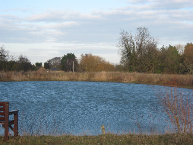
Image: © David Anstiss Taken: 16 Jan 2011
This large artificial reservoir has been formed by earthbanks, high above the street level. It may feed the nearby Europa Nurseries Greenhouse.
Images are licensed for reuse under creativecommons.org/licenses/by-sa/2.0
Image Location
Latitude
51.286175
Longitude
1.291135