View from Brookestreet Farm footpath
Introduction
The photograph on this page of View from Brookestreet Farm footpath by David Anstiss as part of the Geograph project.
The Geograph project started in 2005 with the aim of publishing, organising and preserving representative images for every square kilometre of Great Britain, Ireland and the Isle of Man.

There are currently over 7.5m images from over 14,400 individuals and you can help contribute to the project by visiting https://www.geograph.org.uk
View from Brookestreet Farm footpath
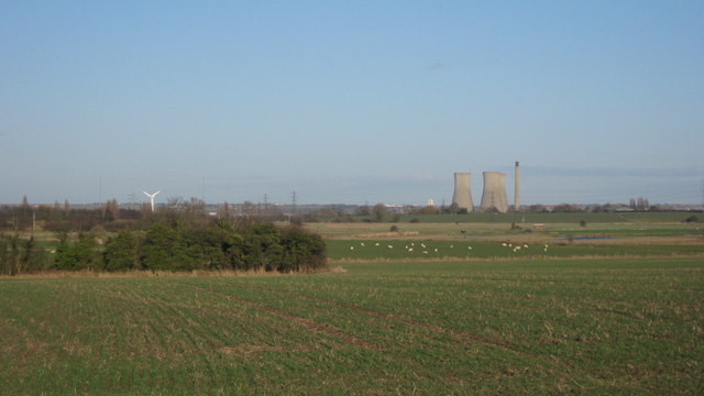
Image: © David Anstiss Taken: 16 Jan 2011
As seen from the farm track between East Street and Brookestreet Farm. Looking across the Ash Levels towards the Richborough Power Station. On the left is the wind turbine, which currently is not working, even though today was a very windy day.
Images are licensed for reuse under creativecommons.org/licenses/by-sa/2.0
Image Location
Latitude
51.284711
Longitude
1.304801