Churchyard at Easter Rhynd
Introduction
The photograph on this page of Churchyard at Easter Rhynd by William Starkey as part of the Geograph project.
The Geograph project started in 2005 with the aim of publishing, organising and preserving representative images for every square kilometre of Great Britain, Ireland and the Isle of Man.

There are currently over 7.5m images from over 14,400 individuals and you can help contribute to the project by visiting https://www.geograph.org.uk
Churchyard at Easter Rhynd
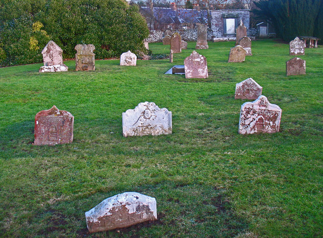
Image: © William Starkey Taken: 18 Jan 2011
The churchyard at Easter Rhynd is now disused, with the remains of the pre-1840 church overgrown with ivy. Many of the gravestones are collapsed and sunken into the ground. The church may originally have been established by benedictine monks in the 11th century.
Images are licensed for reuse under creativecommons.org/licenses/by-sa/2.0
Image Location
Latitude
56.351662
Longitude
-3.324249