Lorry crossing a cattle grid
Introduction
The photograph on this page of Lorry crossing a cattle grid by Robin Drayton as part of the Geograph project.
The Geograph project started in 2005 with the aim of publishing, organising and preserving representative images for every square kilometre of Great Britain, Ireland and the Isle of Man.

There are currently over 7.5m images from over 14,400 individuals and you can help contribute to the project by visiting https://www.geograph.org.uk
Lorry crossing a cattle grid
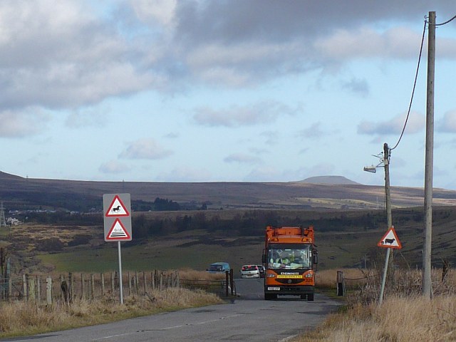
Image: © Robin Drayton Taken: 18 Jan 2011
On the minor road between Hilltop, Ebbw Vale and Georgetown, Tredegar. The flat top mountain in the distance is the Sugar Loaf http://www.geograph.org.uk/photo/2149990 .
Images are licensed for reuse under creativecommons.org/licenses/by-sa/2.0
Image Location
Latitude
51.775529
Longitude
-3.224984