Gatehouse. Tisbury
Introduction
The photograph on this page of Gatehouse. Tisbury by Derek Harper as part of the Geograph project.
The Geograph project started in 2005 with the aim of publishing, organising and preserving representative images for every square kilometre of Great Britain, Ireland and the Isle of Man.

There are currently over 7.5m images from over 14,400 individuals and you can help contribute to the project by visiting https://www.geograph.org.uk
Gatehouse. Tisbury
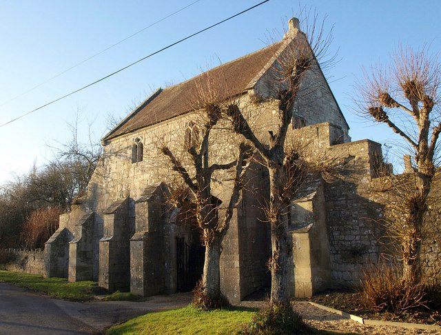
Image: © Derek Harper Taken: 9 Jan 2011
The C15 outer gatehouse at Place Farm is also shown in http://www.geograph.org.uk/search.php?i=18443282 . "Fine surviving example of entrance to monastic grange of the Abbess of Shaftesbury" http://www.britishlistedbuildings.co.uk/en-321000-outer-gatehouse-at-place-farm-tisbury .
Images are licensed for reuse under creativecommons.org/licenses/by-sa/2.0
Image Location


Leaflet Map data © OpenStreetMap
Latitude
51.067331
Longitude
-2.070736