Saxon Shore Way and Stour Valley Walk leave Richborough Road
Introduction
The photograph on this page of Saxon Shore Way and Stour Valley Walk leave Richborough Road by David Anstiss as part of the Geograph project.
The Geograph project started in 2005 with the aim of publishing, organising and preserving representative images for every square kilometre of Great Britain, Ireland and the Isle of Man.

There are currently over 7.5m images from over 14,400 individuals and you can help contribute to the project by visiting https://www.geograph.org.uk
Saxon Shore Way and Stour Valley Walk leave Richborough Road
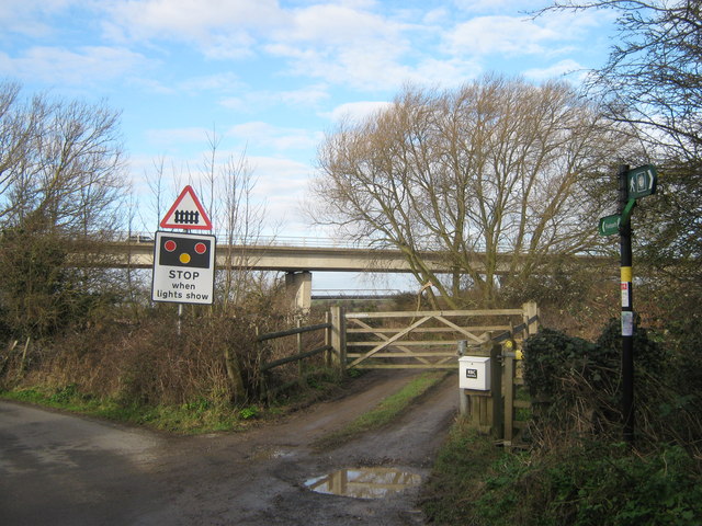
Image: © David Anstiss Taken: 16 Jan 2011
The long distance walks leave the road from Sandwich, and head to a path beside the River Stour. In the background is the A256 Ramsgate Road bridge over the River Stour.
Images are licensed for reuse under creativecommons.org/licenses/by-sa/2.0
Image Location
Latitude
51.284641
Longitude
1.329467