Unadopted street
Introduction
The photograph on this page of Unadopted street by Bryan Tenny as part of the Geograph project.
The Geograph project started in 2005 with the aim of publishing, organising and preserving representative images for every square kilometre of Great Britain, Ireland and the Isle of Man.

There are currently over 7.5m images from over 14,400 individuals and you can help contribute to the project by visiting https://www.geograph.org.uk
Unadopted street
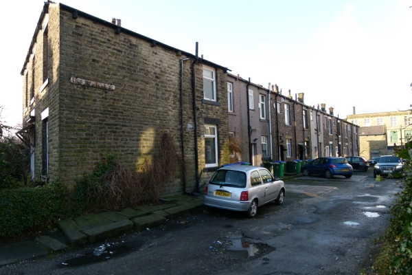
Image: © Bryan Tenny Taken: 17 Jan 2011
This unadopted street is at the rear of a typical Victorian terrace of stone built cottages. In this case called Victoria Terrace.
Images are licensed for reuse under creativecommons.org/licenses/by-sa/2.0
Image Location
Latitude
53.606132
Longitude
-2.106054