Newark: the south side of the Market Place
Introduction
The photograph on this page of Newark: the south side of the Market Place by Stefan Czapski as part of the Geograph project.
The Geograph project started in 2005 with the aim of publishing, organising and preserving representative images for every square kilometre of Great Britain, Ireland and the Isle of Man.

There are currently over 7.5m images from over 14,400 individuals and you can help contribute to the project by visiting https://www.geograph.org.uk
Newark: the south side of the Market Place
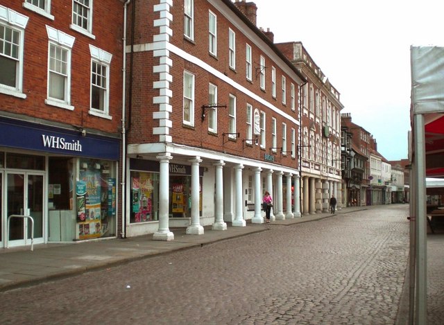
Image: © Stefan Czapski Taken: 9 May 2008
The handsome colonnaded building in the foreground was for centuries an inn, the Saracen's Head. Beyond it, the erstwhile Clinton Arms. Newark was on the old Great North Road, and did very well out of passing trade. Notice the expanse of cobbles - there can't be that many towns in England that could match this, not in the 21st century.
Images are licensed for reuse under creativecommons.org/licenses/by-sa/2.0
Image Location
Latitude
53.07638
Longitude
-0.810573