Paddock Lane
Introduction
The photograph on this page of Paddock Lane by Derek Harper as part of the Geograph project.
The Geograph project started in 2005 with the aim of publishing, organising and preserving representative images for every square kilometre of Great Britain, Ireland and the Isle of Man.

There are currently over 7.5m images from over 14,400 individuals and you can help contribute to the project by visiting https://www.geograph.org.uk
Paddock Lane
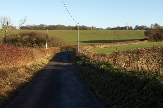
Image: © Derek Harper Taken: 9 Jan 2011
Paddock Lane approaches the junction with Mill Lane, which follows the dry valley up to its head to the right.
Images are licensed for reuse under creativecommons.org/licenses/by-sa/2.0
Image Location
Latitude
51.081541
Longitude
-2.066617