The Quadrangle
Introduction
The photograph on this page of The Quadrangle by Derek Harper as part of the Geograph project.
The Geograph project started in 2005 with the aim of publishing, organising and preserving representative images for every square kilometre of Great Britain, Ireland and the Isle of Man.

There are currently over 7.5m images from over 14,400 individuals and you can help contribute to the project by visiting https://www.geograph.org.uk
The Quadrangle
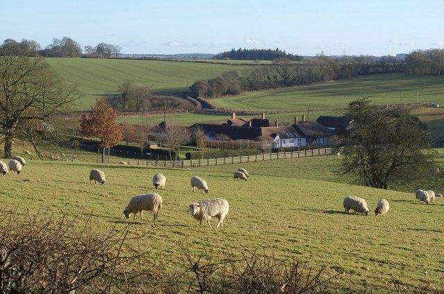
Image: © Derek Harper Taken: 9 Jan 2011
The farm sits in a dry valley on the edge of the Fonthill estate. Beyond can be seen Mill Lane, leading up onto Lady Down. View from the drive shown in Image
Images are licensed for reuse under creativecommons.org/licenses/by-sa/2.0
Image Location
Latitude
51.082798
Longitude
-2.069903