Ashmore Park to Wednesfield
Introduction
The photograph on this page of Ashmore Park to Wednesfield by John M as part of the Geograph project.
The Geograph project started in 2005 with the aim of publishing, organising and preserving representative images for every square kilometre of Great Britain, Ireland and the Isle of Man.

There are currently over 7.5m images from over 14,400 individuals and you can help contribute to the project by visiting https://www.geograph.org.uk
Ashmore Park to Wednesfield
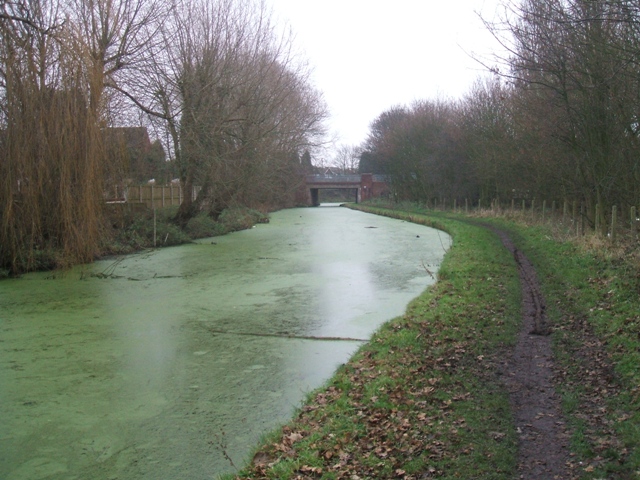
Image: © John M Taken: 26 Dec 2006
This is the subject of a painting by David Rayson a locally born artist. http://www.rca.ac.uk/Default.aspx?ContentID=160379&GroupID=160317 The view is towards Olinthus Bridge on the Wyrley & Essington Canal (the Curly Wyrley)
Images are licensed for reuse under creativecommons.org/licenses/by-sa/2.0
Image Location
Latitude
52.609731
Longitude
-2.064343