Where's the bridge?
Introduction
The photograph on this page of Where's the bridge? by Stephen Sweeney as part of the Geograph project.
The Geograph project started in 2005 with the aim of publishing, organising and preserving representative images for every square kilometre of Great Britain, Ireland and the Isle of Man.

There are currently over 7.5m images from over 14,400 individuals and you can help contribute to the project by visiting https://www.geograph.org.uk
Where's the bridge?
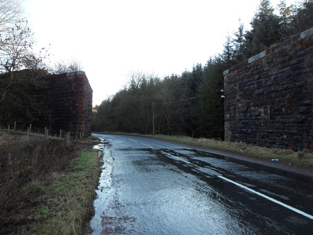
Image: © Stephen Sweeney Taken: 17 Jan 2011
To the left and right of the image the embankment of the now dismantled East Kilbride-High Blantyre railway line still exist, but the bridge that would have crossed this road is no more.
Images are licensed for reuse under creativecommons.org/licenses/by-sa/2.0
Image Location
Latitude
55.782579
Longitude
-4.147343