Full Up
Introduction
The photograph on this page of Full Up by Karen Vernon as part of the Geograph project.
The Geograph project started in 2005 with the aim of publishing, organising and preserving representative images for every square kilometre of Great Britain, Ireland and the Isle of Man.

There are currently over 7.5m images from over 14,400 individuals and you can help contribute to the project by visiting https://www.geograph.org.uk
Full Up
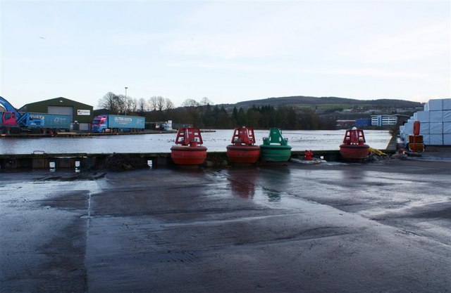
Image: © Karen Vernon Taken: 16 Jan 2011
Perth harbour almost spilling over. Taken approx 1 hour after high tide.
Images are licensed for reuse under creativecommons.org/licenses/by-sa/2.0
Image Location
Latitude
56.381054
Longitude
-3.428431