Tetford, former National School
Introduction
The photograph on this page of Tetford, former National School by Brian Westlake as part of the Geograph project.
The Geograph project started in 2005 with the aim of publishing, organising and preserving representative images for every square kilometre of Great Britain, Ireland and the Isle of Man.

There are currently over 7.5m images from over 14,400 individuals and you can help contribute to the project by visiting https://www.geograph.org.uk
Tetford, former National School
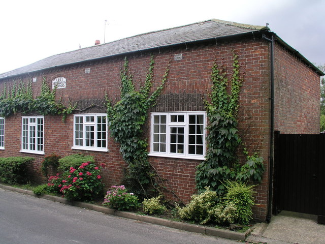
Image: © Brian Westlake Taken: 9 Sep 2010
The former school carries a cut bench mark behind a shrub below the brickwork between the 2nd and 3rd windows. See http://www.geograph.org.uk/photo/2234714 for a close-up.
Images are licensed for reuse under creativecommons.org/licenses/by-sa/2.0
Image Location
Latitude
53.253909
Longitude
-0.00788