Chapel Street URC
Introduction
The photograph on this page of Chapel Street URC by Bill Boaden as part of the Geograph project.
The Geograph project started in 2005 with the aim of publishing, organising and preserving representative images for every square kilometre of Great Britain, Ireland and the Isle of Man.

There are currently over 7.5m images from over 14,400 individuals and you can help contribute to the project by visiting https://www.geograph.org.uk
Chapel Street URC
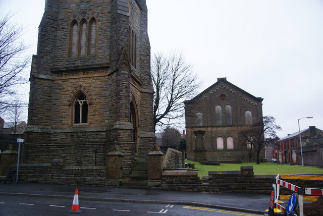
Image: © Bill Boaden Taken: 12 Jan 2011
The spire on the left, which is much taller than this shot, is a noticeable landmark on the west side of Blackburn. The other church building is also now closed.
Images are licensed for reuse under creativecommons.org/licenses/by-sa/2.0
Image Location
Latitude
53.74495
Longitude
-2.48805