Westcombe Hill, upper section
Introduction
The photograph on this page of Westcombe Hill, upper section by Stephen Craven as part of the Geograph project.
The Geograph project started in 2005 with the aim of publishing, organising and preserving representative images for every square kilometre of Great Britain, Ireland and the Isle of Man.

There are currently over 7.5m images from over 14,400 individuals and you can help contribute to the project by visiting https://www.geograph.org.uk
Westcombe Hill, upper section
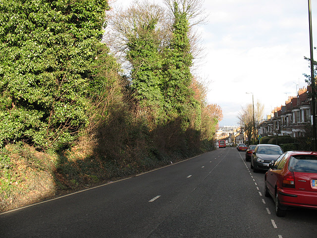
Image: © Stephen Craven Taken: 16 Jan 2011
The section of Westcombe Hill between Kirkside Road and Westcombe Park Road only has houses on the east side. This is a view down the hill.
Images are licensed for reuse under creativecommons.org/licenses/by-sa/2.0
Image Location
Latitude
51.480134
Longitude
0.019583