Pyecombe Street from Newtimber Hill
Introduction
The photograph on this page of Pyecombe Street from Newtimber Hill by Robin Webster as part of the Geograph project.
The Geograph project started in 2005 with the aim of publishing, organising and preserving representative images for every square kilometre of Great Britain, Ireland and the Isle of Man.

There are currently over 7.5m images from over 14,400 individuals and you can help contribute to the project by visiting https://www.geograph.org.uk
Pyecombe Street from Newtimber Hill
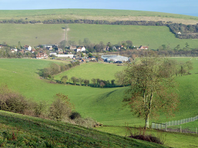
Image: © Robin Webster Taken: 16 Jan 2011
The dual carriageway A23 passes in a cutting between the nearer farm buildings and the further houses, which are reached from the right by the stub end of the old course of the A23 here.
Images are licensed for reuse under creativecommons.org/licenses/by-sa/2.0
Image Location
Latitude
50.901201
Longitude
-0.174247