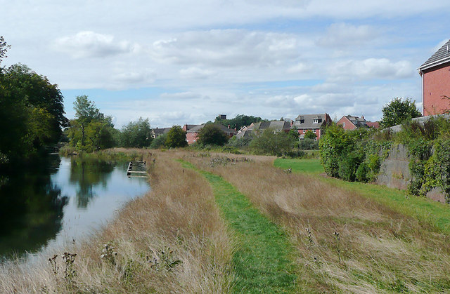
Droitwich Junction Canal, Worcestershire entering Droitwich
Introduction
The photograph on this page of Droitwich Junction Canal, Worcestershire entering Droitwich by Roger D Kidd as part of the Geograph project.
The Geograph project started in 2005 with the aim of publishing, organising and preserving representative images for every square kilometre of Great Britain, Ireland and the Isle of Man.
There are currently over 7.5m images from over 14,400 individuals and you can help contribute to the project by visiting https://www.geograph.org.uk

Image: © Roger D Kidd Taken: 22 Aug 2010
The restored canal is almost ready to reopen (scheduled now for 2011) after being abandoned in 1939. Passage through from Hanbury Junction to Hawbury via the already re-opened Droitwich Barge Canal will become commonplace for the first time since 1918. The Waterscape website states this: "When the Junction Canal opens to navigation, it will complete a new 22-mile continuous cruising ring, which takes in the Worcester and Birmingham Canal, the upper reaches of the Severn Navigation and the newly refurbished Droitwich Barge Canal." There will much queuing for the locks this summer if it happens by then. Oh, and at the time of this image there was no passage through along the towpath. Update .... the towpath will be the other side; this isn't it. That's why!! Twit!

