Hill Street Farm
Introduction
The photograph on this page of Hill Street Farm by Derek Harper as part of the Geograph project.
The Geograph project started in 2005 with the aim of publishing, organising and preserving representative images for every square kilometre of Great Britain, Ireland and the Isle of Man.

There are currently over 7.5m images from over 14,400 individuals and you can help contribute to the project by visiting https://www.geograph.org.uk
Hill Street Farm
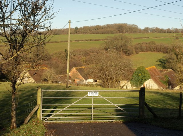
Image: © Derek Harper Taken: 9 Jan 2011
These outbuildings on the east side of the farmhouse form a neat U-shape. Behind is the Fonthill Brook valley. Seen from Hindon Lane.
Images are licensed for reuse under creativecommons.org/licenses/by-sa/2.0
Image Location
Latitude
51.070198
Longitude
-2.085583