Sycamore Road, Mayfield
Introduction
The photograph on this page of Sycamore Road, Mayfield by Richard Dorrell as part of the Geograph project.
The Geograph project started in 2005 with the aim of publishing, organising and preserving representative images for every square kilometre of Great Britain, Ireland and the Isle of Man.

There are currently over 7.5m images from over 14,400 individuals and you can help contribute to the project by visiting https://www.geograph.org.uk
Sycamore Road, Mayfield
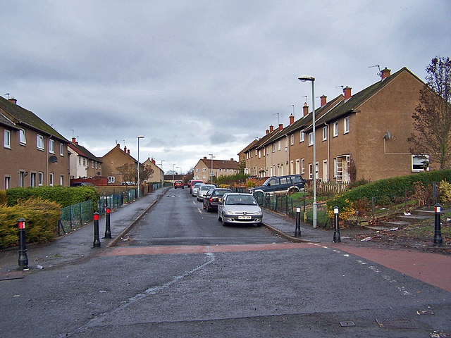
Image: © Richard Dorrell Taken: 13 Jan 2011
A traffic calmed residential street, which provides access to the nearby Mayfield Primary School.
Images are licensed for reuse under creativecommons.org/licenses/by-sa/2.0
Image Location
Latitude
55.870258
Longitude
-3.039971