Knuzden Brook
Introduction
The photograph on this page of Knuzden Brook by Bill Boaden as part of the Geograph project.
The Geograph project started in 2005 with the aim of publishing, organising and preserving representative images for every square kilometre of Great Britain, Ireland and the Isle of Man.

There are currently over 7.5m images from over 14,400 individuals and you can help contribute to the project by visiting https://www.geograph.org.uk
Knuzden Brook
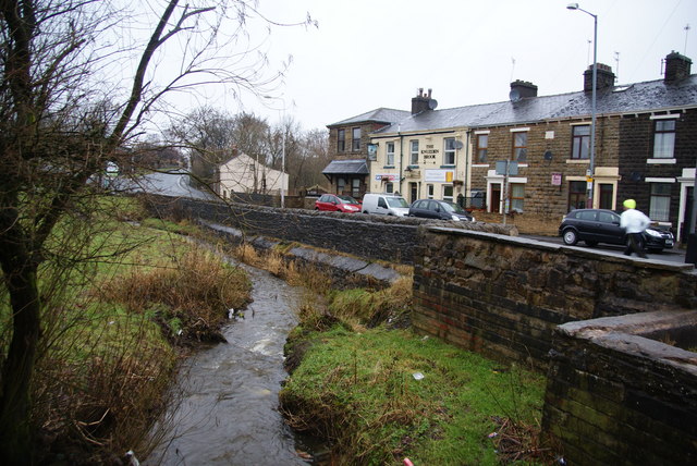
Image: © Bill Boaden Taken: 12 Jan 2011
This is the name of both the brook and the pub in view. The brook is just about to go under Haslingden Road, the B6236.
Images are licensed for reuse under creativecommons.org/licenses/by-sa/2.0
Image Location
Latitude
53.744145
Longitude
-2.440886