Old School House, Tisbury
Introduction
The photograph on this page of Old School House, Tisbury by Derek Harper as part of the Geograph project.
The Geograph project started in 2005 with the aim of publishing, organising and preserving representative images for every square kilometre of Great Britain, Ireland and the Isle of Man.

There are currently over 7.5m images from over 14,400 individuals and you can help contribute to the project by visiting https://www.geograph.org.uk
Old School House, Tisbury
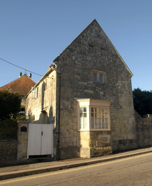
Image: © Derek Harper Taken: 9 Jan 2011
Lying at right angles to the High Street, with a canted bay jutting onto the pavement, the building is C17 http://www.britishlistedbuildings.co.uk/en-321029-old-school-house-tisbury .
Images are licensed for reuse under creativecommons.org/licenses/by-sa/2.0
Image Location
Latitude
51.065976
Longitude
-2.080866